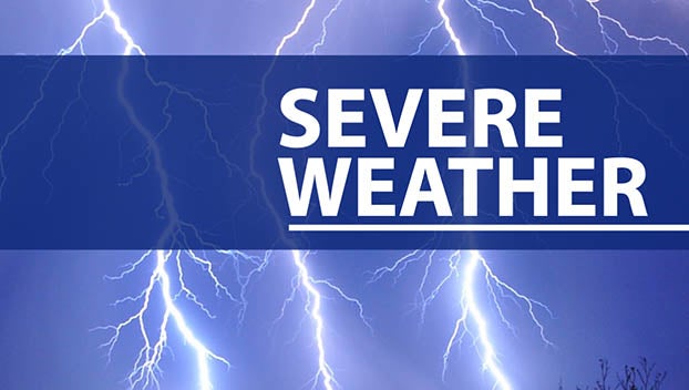
National Weather Service issues heat advisory, hazardous weather outlook for Sunday
Published 12:01 pm Sunday, July 2, 2023
|
Getting your Trinity Audio player ready...
|
The National Weather Service has issued a hazardous weather outlook and heat advisory for Sunday.
The following is from the National Weather Service at weather.gov:
Scattered strong to severe storms are possible today, mainly late this afternoon through the evening. Damaging wind gusts over 60 mph are the greatest threat, with large hail also possible. .
Strong to severe storms will again be possible Monday from late afternoon through the evening. Damaging winds and large hail are possible, and a brief tornado can’t be ruled out. Additionally, heat index values are expected to reach 101 to 107 degrees Monday, which could increase the risk of heat illnesses.
A heat advisory is in effect until 8 p.m. Sunday, with heat index values of 105 to 107 expected.
Hot temperatures and high humidity may cause heat illnesses to occur.
Drink plenty of fluids, stay in an air-conditioned room, stay out of the sun and check up on relatives and neighbors. Young children and pets should never be left unattended in vehicles under any circumstances. Take extra precautions if you work or spend time outside. When possible reschedule strenuous activities to early morning or evening. Know the signs and symptoms of heat exhaustion and heat stroke. Wear lightweight and loose fitting clothing when possible. To reduce risk during outdoor work, the Occupational Safety and Health Administration recommends scheduling frequent rest breaks in shaded or air conditioned environments. Anyone overcome by heat should be moved to a cool and shaded location. Heat stroke is an emergency! Call 9 1 1.